


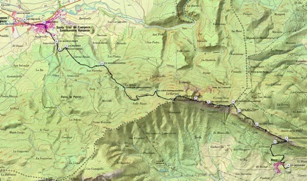
Nombre del Mapa: COSTALERA
Tipo Raster map del INSTITUTO GEOGRAFICO NACIONAL (IGN)
Escala 2,5 m/pixel
Proyección del mapa UTM Zona 30
Extensión del mapa 13.747,5 m X 9.372,5 m (Cuadricula entera)
Nombre del Bitmap: 0171C230.map
Tamaño del bitmap: 5,499 m X 3749 m (Mapa recortado)
Imagen: imp
Datum original: EUROPEAN 1950